
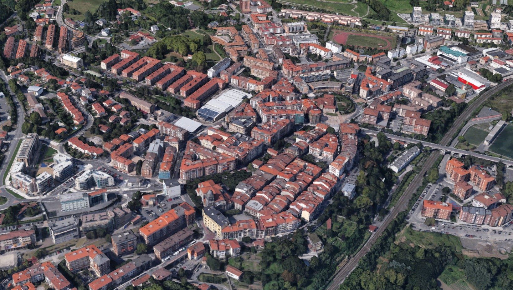
Accessibility Plan of Hernani´s municipallity went out to tender last September 2018.
Suma USC won the contest and accesibility throughout the municipallity h using GIS analysis tools and data colletion in field operations.
with the aim to scan the area. After evaluating all data taken and put together the conclutions on a document, a participatory process will be taken place in Hernani for priorising improvement actions in public spaces and elaborating the final Step Plan.
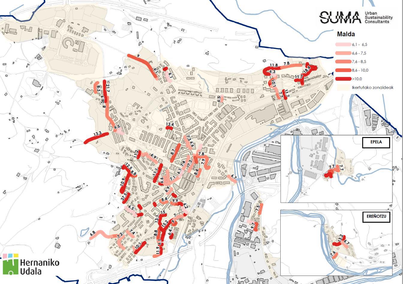
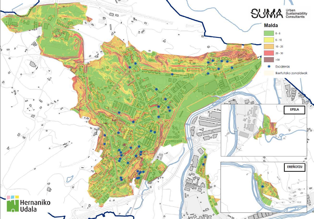
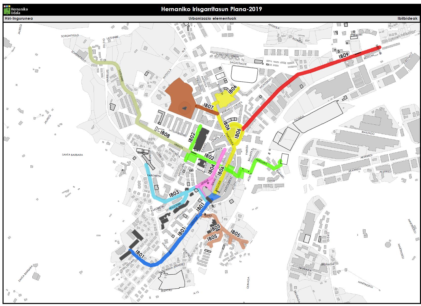
Samples of spacial and territorial GIS analysis
After evaluating all data taken, information datasheets for all the elements under study were prepared, facilitating the reading, consultation and undertanding of data collected.

As part of the study, Public buildings were analysed and a report of their general accesibility with a budget of possible action to be carried out were made.
Conclusions and different proposal for improving the accesibility were also included in the final document, where a Step Plan was detailed for achieving the established objectives.
The main goal of the Plan is to improve the quality of life of locals and suggest a set of real and factible measures in the time frame defined by the Plan. The work we will conduct together with the citizenship and city council seeks to identify black spots in the city and raise awareness of the problems that some collectives suffer daily.