
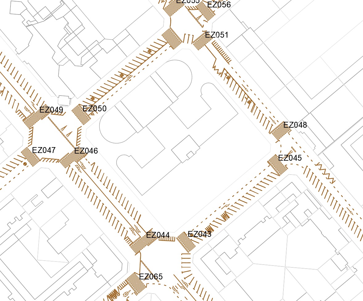
By order of Pamplona´s City Council, municipal pedestrians crossings were indentified and georeferenced in order to count their previous elements.
The aim of the project is to identify all those pedestrian crossings that had previous elements not accepted by the municipal mobility ordinance, approved in August 2019, which ban parking vehicles in 5 meters prior to a crossing, motorcycles in 3 meters and bikes in 2 meters.
Trying to assist prioritising future interventions in pedestrian crossings and mining their data, data were counted and filtered by:
- Those pedestrian crossings that require intervention.
- Pedestrian crossings in the surrounding of a school (100 meters away).
- Data by neighborhood.
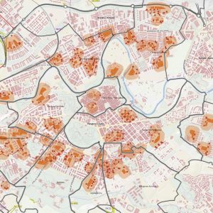
This work culminated with the realisation of a web viewer, integrating collected data in the spatial data viewer of Navarra (IDENA) which facilitates public and open consultation, in addition to adding the possibility of performing later spatial analisis with GIS tools.
Beside, a datasheet for each element was created and linked in the viewer, making easier the work by element and printing of their data.